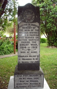
Small settlement next to the mouth of the Mōhaka River, off State Highway 2. Mōhaka is a Māori settlement surrounded by pastoral farmland. The main hapū is Ngāti Pahauwera. The round meeting house Rongomaiwahine is a local landmark. A busy European township developed on the opposite side of the river in the 1860s. Both the Māori and European settlements were attacked by Māori resistance leader Te Kooti in 1869 to make sure he had an escape route from authorities, and as an act of reprisal for earlier grievances. Seven Pākehā and 61 Māori were killed. The European settlement eventually failed, but Māori continued to occupy the north side of the river.
Meaning of place name
Mō: used for; haka: war dance. The name is an ancient one that comes from Hawaiki.

