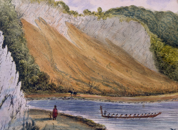
The magnitude 8.2 earthquake had a profound impact on the development of Wellington city. Land raised from the harbour – along with additional reclamations – formed much of modern Wellington’s central business district. The earthquake also drained notoriously swampy areas in the Hutt Valley and Wellington, including the future site of the Basin Reserve cricket ground.
Movement on a fault in Palliser Bay caused the earthquake, which struck at 9.11 p.m. and lasted for 50 seconds. It lifted the southern end of the Remutaka Range by a staggering 6 m. About 10 minutes after the main shock, a 4-m-high tsunami entered Wellington Harbour, sending water surging back and forth and flooding Lambton Quay.
Several buildings collapsed, including the two-storey council chambers and adjoining government offices. Most single-storey wooden buildings survived, despite damage caused by falling brick chimneys and shifting foundations.
Despite its strength, the quake killed only a few people – one in Wellington, two in Manawatū and up to six in Wairarapa.
How to cite this page
'Massive earthquake hits southern North Island', URL: https://nzhistory.govt.nz/massive-earthquake-hits-wellington, (Ministry for Culture and Heritage), updated 24-Sep-2020
