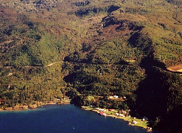
A devastating landslide obliterated the Ngāti Tūwharetoa village of Te Rapa on the south-west shore of Lake Taupō. Sixty people were killed, including the paramount chief Mananui Te Heuheu Tūkino II. This remains New Zealand’s highest death toll from a landslide.
Te Rapa sat below the volcanic springs of Mt Kākaramea. The missionary Richard Taylor recorded that an ‘unusually rainy season occasioned a large landslip’ on the mountain. The slip dammed a stream which, three days later, ‘burst its barriers, and, with irresistible force, swept rocks, trees and earth with it into the lake’. The avalanche of debris buried Te Rapa and only a few people managed to escape.
In 1910, another landslide killed one person in a new village near the old site of Te Rapa. After this second event, the village was abandoned. The source of the landslides was an unstable geothermal area known as the Hipaua Steaming Cliffs. This still causes problems for engineers working on State Highway 41, which passes between the cliffs and Lake Taupō. Waihī village now stands at the lakeside.