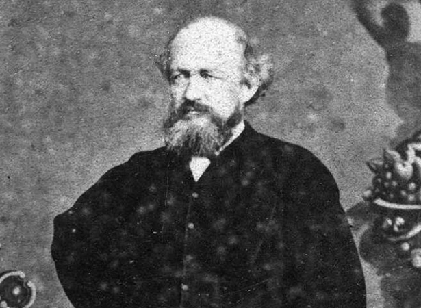
This journey was part of Thomas Brunner’s epic 1846–48 exploration of the South Island. He was guided by Kehu (Hone Mokekehu) of Ngāti Tūmatakōkiri and accompanied by Charles Heaphy, a draughtsman and artist with the New Zealand Company.
Brunner arrived in Nelson in 1841. From August 1843 he explored the hinterland with survey parties, persisting in his efforts despite not finding rumoured ‘great plains’. In February 1846 Brunner and Kehu joined Heaphy and future Premier William Fox in a month-long exploration of the upper Buller River and its tributaries.
On 17 March 1846 Brunner, Kehu and Heaphy left Nelson again. They travelled via Golden Bay and then along the West Coast as far south as Hokitika. On their five-month journey Brunner and Heaphy became the first Europeans to visit the Poutini Ngāi Tahu settlements at Māwhera (the future site of Greymouth), Taramakau and Arahura. They were also the first to identify Aoraki/Mt Cook as New Zealand’s highest peak.
Brunner’s most epic journey, with Kehu and another Māori, Pikiwati, and their wives, began in December 1846. Their goal was Milford Sound, but Brunner injured his ankle at Paringa, 50 km north of Haast. After he recovered they set off for home. On the way Brunner had a stroke, and the party did not reach Nelson until June 1848.
Brunner later became Chief Surveyor for Nelson province. Heaphy held the same position in Auckland and later for the general government.