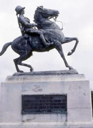
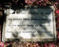
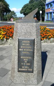
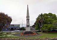
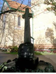
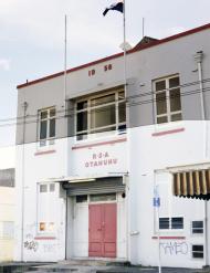
Industrial suburb stretching from the north-east arm of the Manukau to the Panmure Basin, 15km from Auckland's city centre. Occupies the narrowest point in New Zealand, the 1-km strip between the Tāmaki River and the Manukau that Māori used as a canoe portage. Ōtāhuhu began as a military settlement, from which the Pākehā invasion of Waikato was launched in the 1860s. In the early 1900s, cheap flat land and easy access to ports, roads and railways made this an ideal area for heavy industry. The 1980s changed the landscape and workforce, with the closure of the freezing works and the railway workshops.
Otahuhu
Meaning of place name
The most popular explanation for this name is ō: place of; tāhuhu: ridgepole of a house. The portage of the Tainui canoe from the Tāmaki River to the western seaboard crossed a low ridge, which was likened to the ridgepole of a house. The name was probably first given to one of the hills.