Map of Newfoundland in 1914

Map of Newfoundland in 1914

You can also download a hi-res copy as a pdf (10.5 mbs).

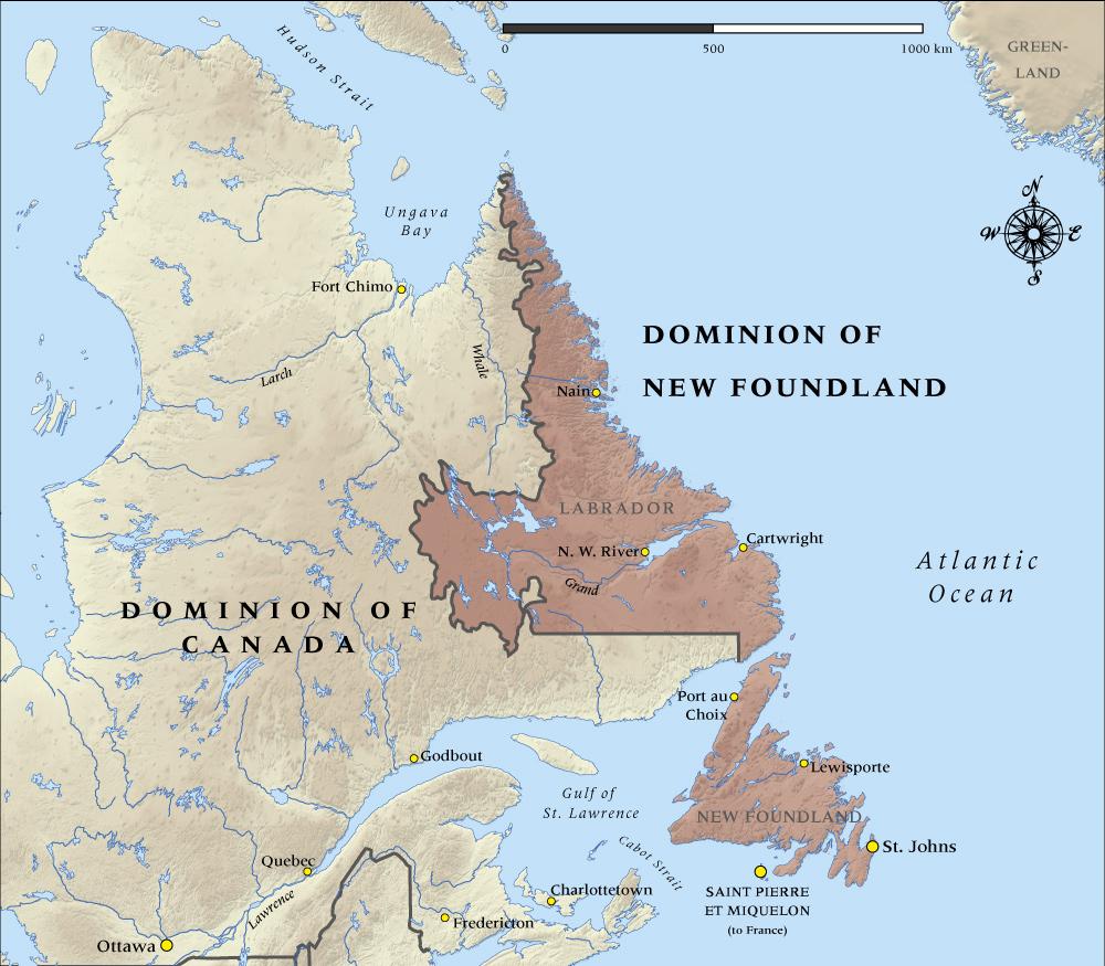
This map shows the Dominion of Newfoundland at the time it entered the First World War in 1914.

Community contributions

1 comment has been posted about Map of Newfoundland in 1914

What do you know?

Ross Crouse

Posted: 01 Aug 2014

The Map of the Dominion of Newfoundland in 1914 is incorrect. The Labrador section contained only a narrow strip of land along the coastline. See:
http://vimyridgehistory.com/wp-content/gallery/maps-of-canada/