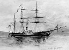
Captained by John Lort Stokes, the paddle steamer Acheron spent four years charting the New Zealand coastline.
Maps
Events In History
Articles
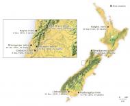
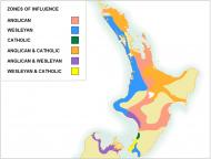
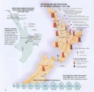
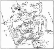
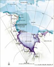
Treaty signatories and signing locations
The Treaty of Waitangi was signed on nine separate sheets by more than 500 Māori. Find out more about the sheets, the signatories and the signing locations Read the full article
Page 1 - Treaty sheets and signing locations
The Treaty of Waitangi was signed on nine separate sheets by more than 500 Māori. Find out more about the sheets, the signatories and the signing
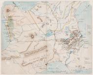
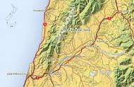
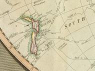
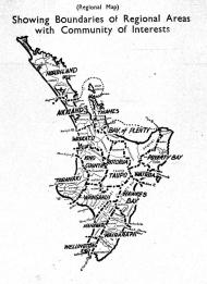
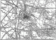
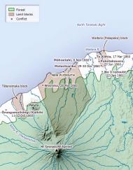
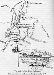
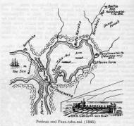
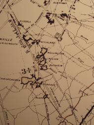
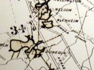
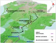
Exploring New Zealand's interior

After charting the coastline, European surveying and exploration of the interior were a fundamental part of the settlement process, defining the boundaries of ownership and identifying resources, useable land and access routes. Read the full article
Page 1 - Exploring New Zealand's interior
After charting the coastline, European surveying and exploration of the interior were a fundamental part of the settlement process, defining the boundaries of ownership and
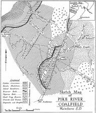
The 1913 Great Strike
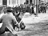
The Great Strike of 1913 was in fact a series of strikes between mid-October 1913 and mid-January 1914. It was one of New Zealand’s most violent and disruptive industrial confrontations. Read the full article
Page 5 - The 1913 strike in Auckland
Watersiders in Auckland began to strike in support of those in Huntly and
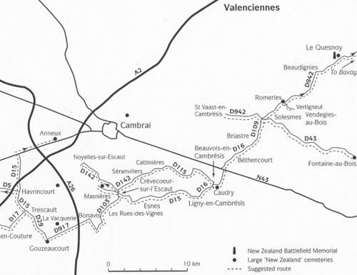
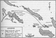
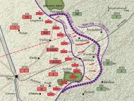
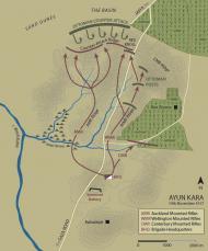
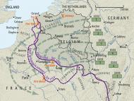
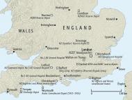
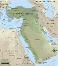
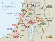
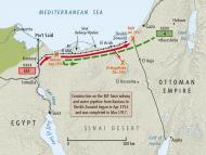
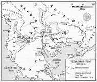
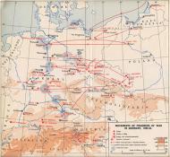
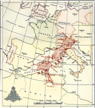
First World War in maps
All our First World War maps in one place. Includes maps that show where New Zealanders served and who they were fighting with and against as well as where they were buried. Read the full article